
Posted on Apr 19, 2022

California gives rivers more room to flow to stem flood risk
357
10
4
8
8
0
First intelligent thing I've seen California do lately...
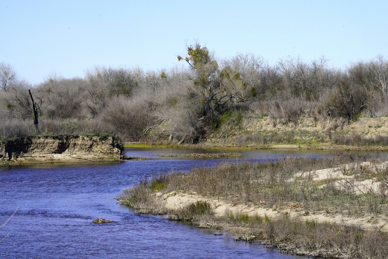
California gives rivers more room to flow to stem flood risk
Posted from apnews.com
Edited 2 y ago
Posted 2 y ago
Responses: 3
2
2
0
0
0
0
So they’re taking a couple thousand acres of productive farm land and reverting it to non-arable land.
I once knew a guy, a parent of one of my students, that had, “Stupid” tattooed in big letters on his forehead in calligraphy. I bet that this was his idea…
I once knew a guy, a parent of one of my students, that had, “Stupid” tattooed in big letters on his forehead in calligraphy. I bet that this was his idea…
(0)
(0)
0
0
0

a section of the Charles River in Sherborn, MA heading Medfield towards Millis, MA. This is all natural along the flow of the river and nothing can be built in this flood plain area. Further upstream is a mile wide meadow which water overflow from the river flood and nothing is allowed to be built there. It's what nature had placed. People in canoes and boats can take quit excursions up the river to just relax with nature. The river is fed by ponds, brooks (one brook of which is down the Hill from My home, which has excellent trout fishing) The Boggastowe Brook, as it is called had smooth spots but also rocks and rapids that nature put there some places 25 feet deep other maybe two feet and flows to South End pond which flow to the Charles river. The brook is also fed by a small stream right of the back of My back yard My neighbor out back had 90 acres of woodland although 45 can't be built on and is controlled by the Army Corp of Engineers. Its so relaxing even sitting in my back yard and hearing the stream that flows to the brook and the water flowing over the rocks on it's downhill path. None of this has changed for Hundreds of years. There are some dams much further down stream as the river flows towards Boston but all along on the way trails to walk and flood plain areas. The river flows where nature intended it to do.
(0)
(0)
SMSgt Lawrence McCarter


Rocky Narrows overlook , Charles River on Sherborn side of river. there is a lone railroad bridge seen here that passes over the river from Medfield to Sherborn, MA. The River forms the town line. Its only about seven miles of foot path trails that access and pass through this area and except for markers on the trails no sign of mankind. I have walked along there and it's unspoiled nature. This are is approx. two miles downstream from the main picture on this post.
(0)
(0)
Read This Next
